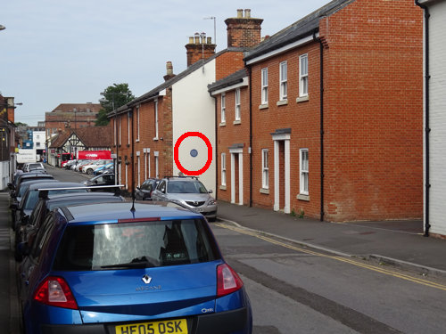
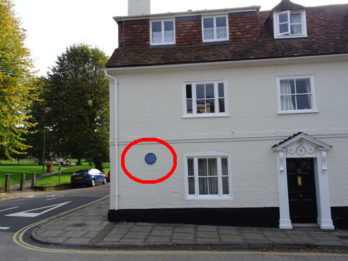
Plaque number 102 can be found at this location.
There are two copies of this plaque.
One can be found on 35 Salt Lane.

The other can be found on the frontage of 60 Bedwin Street.
Greencroft Street is on the left, away from the viewer.

The O/S grid positions are SU ????? East ????? North and SU ????? East ????? North
St Edmunds Community Association

              This is
         Vanner's Chequer
     bounded from the thirteenth
century by St Edmund's Church Street,
 Bedwin Street, Greencroft Street, and
  Salt Lane.  Each adjoining home and
  business owned part of the central
   space from growing vegetables, or
  keeping livestock.  Richard Vanner,
     a tailor, lived here in 1667.
       The name appears on the
           1716 City map.

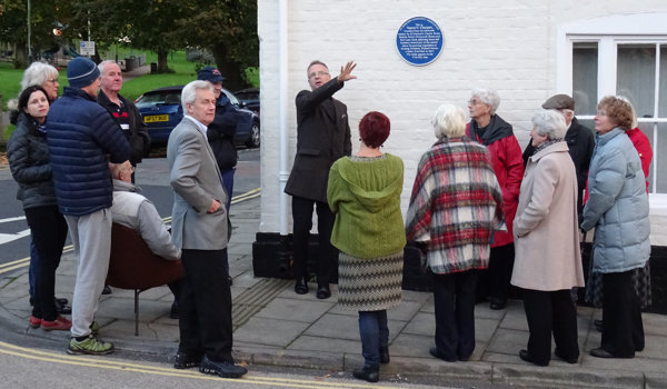
On Wednesday 14th October 2015 the Bedwin Street Vanner's Chequer plaques was unveiled by the Rector Rev. David Linaker.

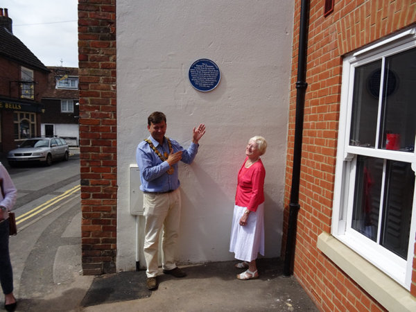
On Sunday 9th August 2015 the Salt Lane plaque was unveiled by Andrew Roberts, Mayor of Salisbury.

Salisbury’s street plan was laid down in the early 13th century with the design of streets running parallel to each other, approximately north/south and east/west. This resulted in the formation of chequer squares.
Each chequer has its own unique name. Their central areas originally contained the gardens of the homes and businesses which occupied the “tenements” that faced the streets.
The area that lies between St Edmund’s Church Street, Bedwin Street, Greencroft Street and Salt Lane, Salisbury was called Vanner’s Chequer.
Richard Vanner, a tailor, lived here in 1667, and the name appears on the earliest city map (William Naish, 1716).
The addition of this blue plaque has enhanced the property by informing the readers of this history of Salisbury as a planned medieval city of chequers. It also gives the origin of the name for this particular chequer, Vanner’s, as being the name of a tailor who lived here in the 17th century.

The courses of Salisbury's street canals or drainage channels which date from the medieval foundation of the city are shown on William, Naish's map of 1751 above. Originally these canals flowed down the centre of the streets but in the 18th century they were moved to the sides and it is likely that from this time they became less effective in clearing away refuse. Where no channels existed, that is in the higher north eastern sector of the city, cess pits were often located next to wells.
In 1849 the medical officer to the overseers of the parishes stated "Neither nature nor art could possibly have formed channels better adapted for effectually carrying away the sewage of the city". In the same year, 1849, cholera broke out and over 200 citizens died. In 1851 a Report on the Sanitary Condition of Salisbury was published. As a result the channels were soon replaced by culverts and mains drains. The adoption of the Public Health Act of 1848 in 1852 ultimately led to a healthier Salisbury. In 1873 a Medical Officer of Health was appointed and in 1874 the Baths and Washhouses Act was adopted. It was not until 1881 however that a sewage works was constructed.
Click here to go back to Salisbury Plaques Home Page
Click here to check validation.